Dhi Qar province
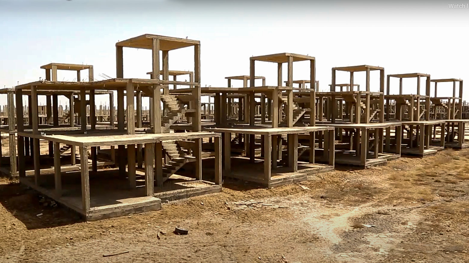
One of the neglected projects in Dhi Qar province. (Photo: Kurdistan24)
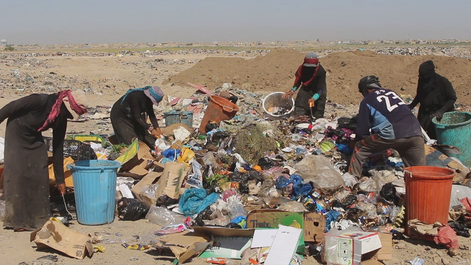
People collect sellable items at a landfill on the outskirts of Dhi Qar, Iraq. (Photo: Kurdistan24)
Dhi Qar Governorate map, administrative division of Iraq. (Photo: Vector illustration)
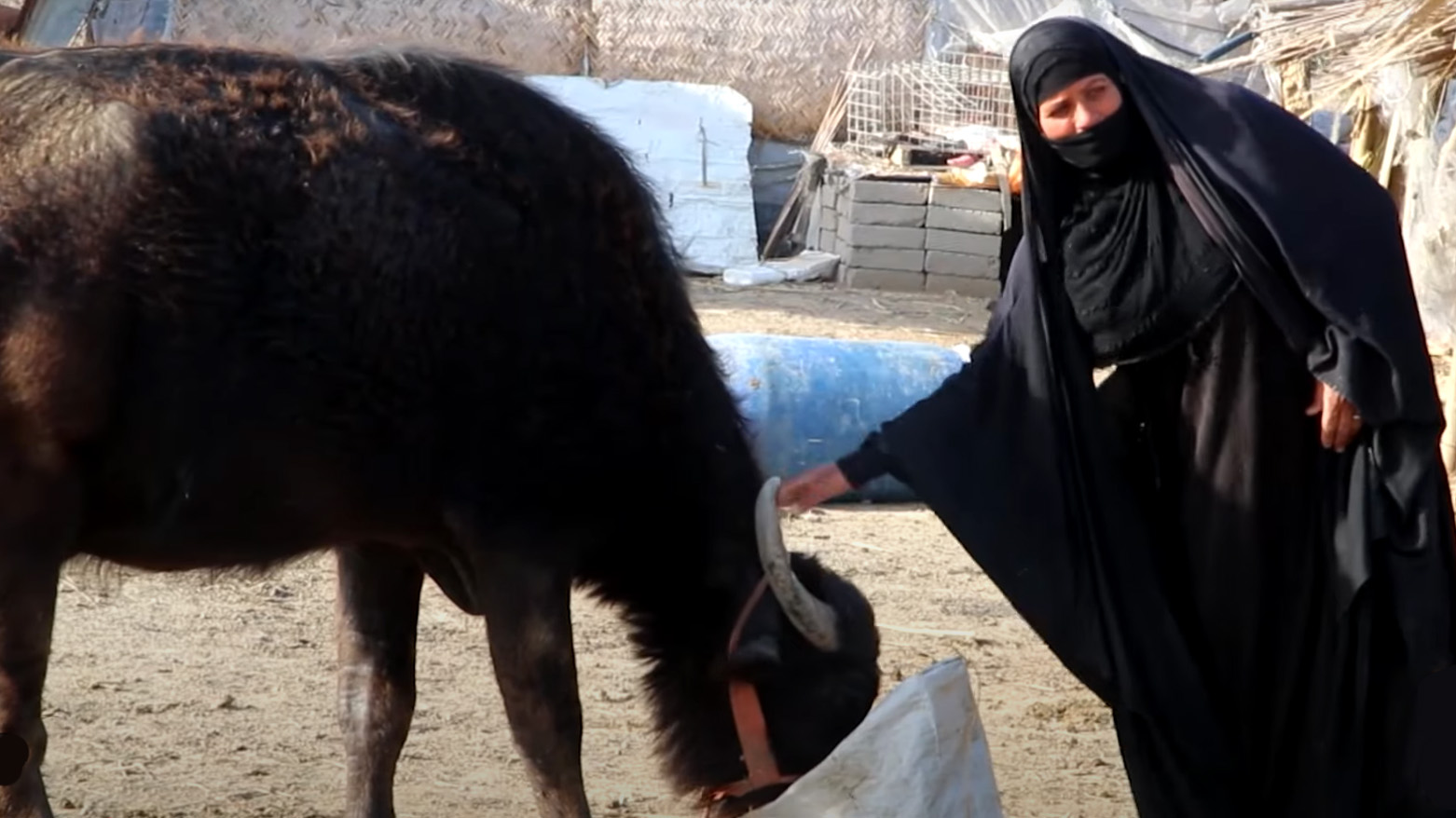
An old Iraqi woman feeding a cattle in Dhi Qar province. (Photo: Kurdistan24)
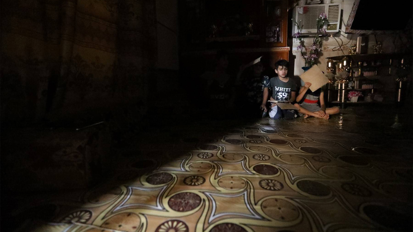
Iraqi children sit in their home in Nasiriyah, southern Iraq as it faces drought, sandstorms, and falling river levels after decades of conflict. (AFP)
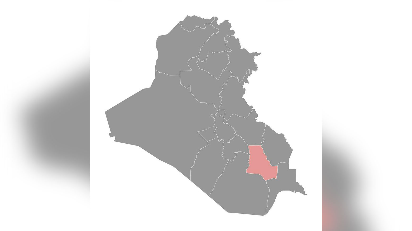
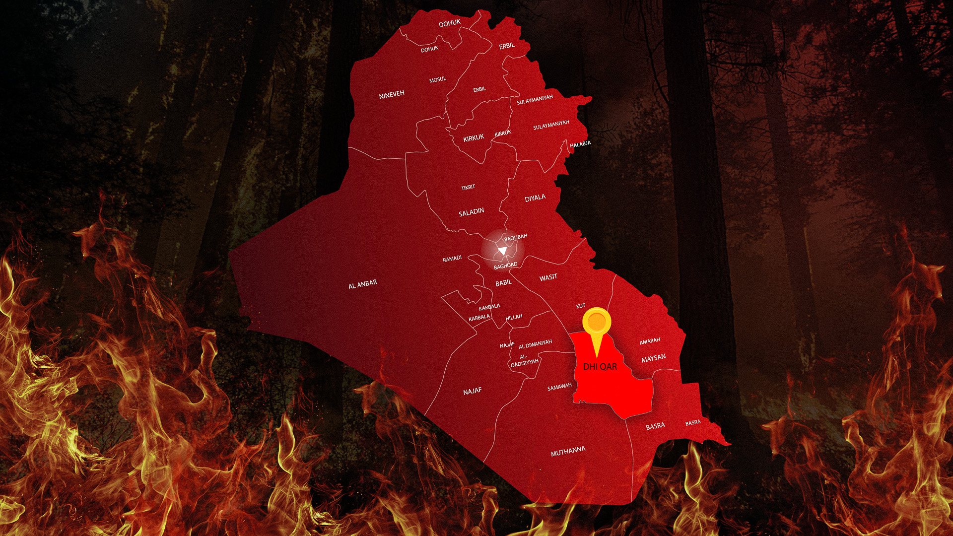
Dhi Qar province is highlighted within the map of Iraq. (Photo: Kurdistan24)
A severely drought-stricken landscape with cracked, dry earth stretching across a wide area in Dhi Qar province. (Photo: Kurdistan24)
A neighborhood in Dhi Qar province, Iraq. (Photo: Kurdistan24)
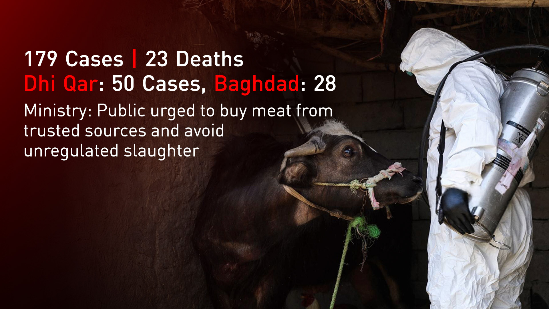
Health worker disinfects calves at a farm in Al-Bojari, Dhi Qar province. (Photo: AFP)
A brick factory in Dhi Qar province. (Photo: Kurdistan24)
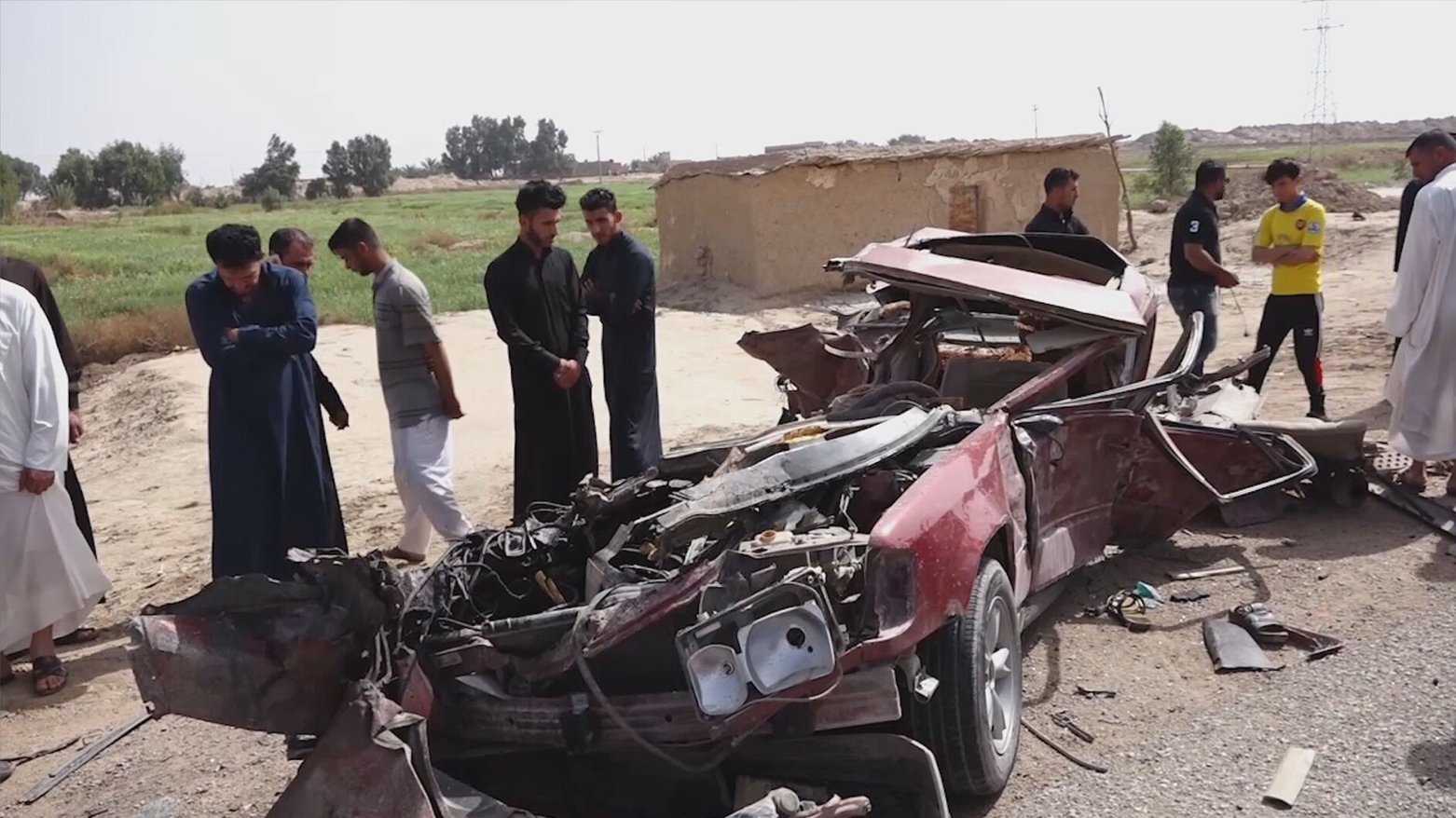
A road accident in an Iraqi city. (Photo: Iraqi Media)
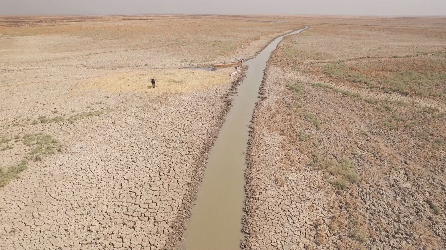
This aerial view shows a drying marsh in Chibayish in Iraq's southern Dhi Qar province on July 5, 2023. (Photo: AFP)
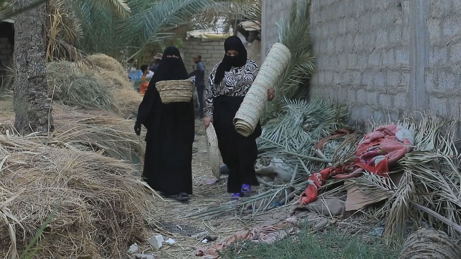
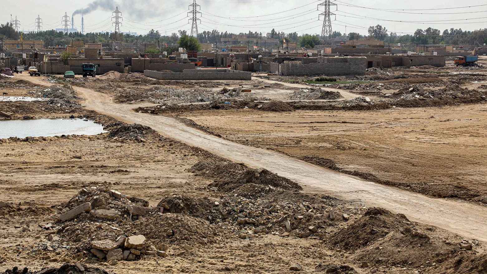
A picture shows an empoverished area on the edges of Nasiriyah, capital of Dhi Qar province, on Sept. 25, 2023. (Photo: AFP)
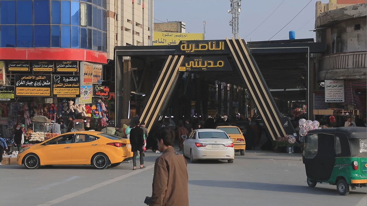
Dhi Qar’s capital, Nasiriyah. (Photo: Kurdistan24)
The scale of drought is shown in this photo of Dhi Qar. (Photo edited by Kurdistan24)
Journalists Detained and Tortured in Dhi Qar for Reporting Corruption and Protests