UN Backs Maps That Show Africa at Its True Relative Size
The UN General Assembly voted 164-1 to encourage equal-area maps that better reflect Africa’s true relative size, challenging the centuries-old Mercator projection.
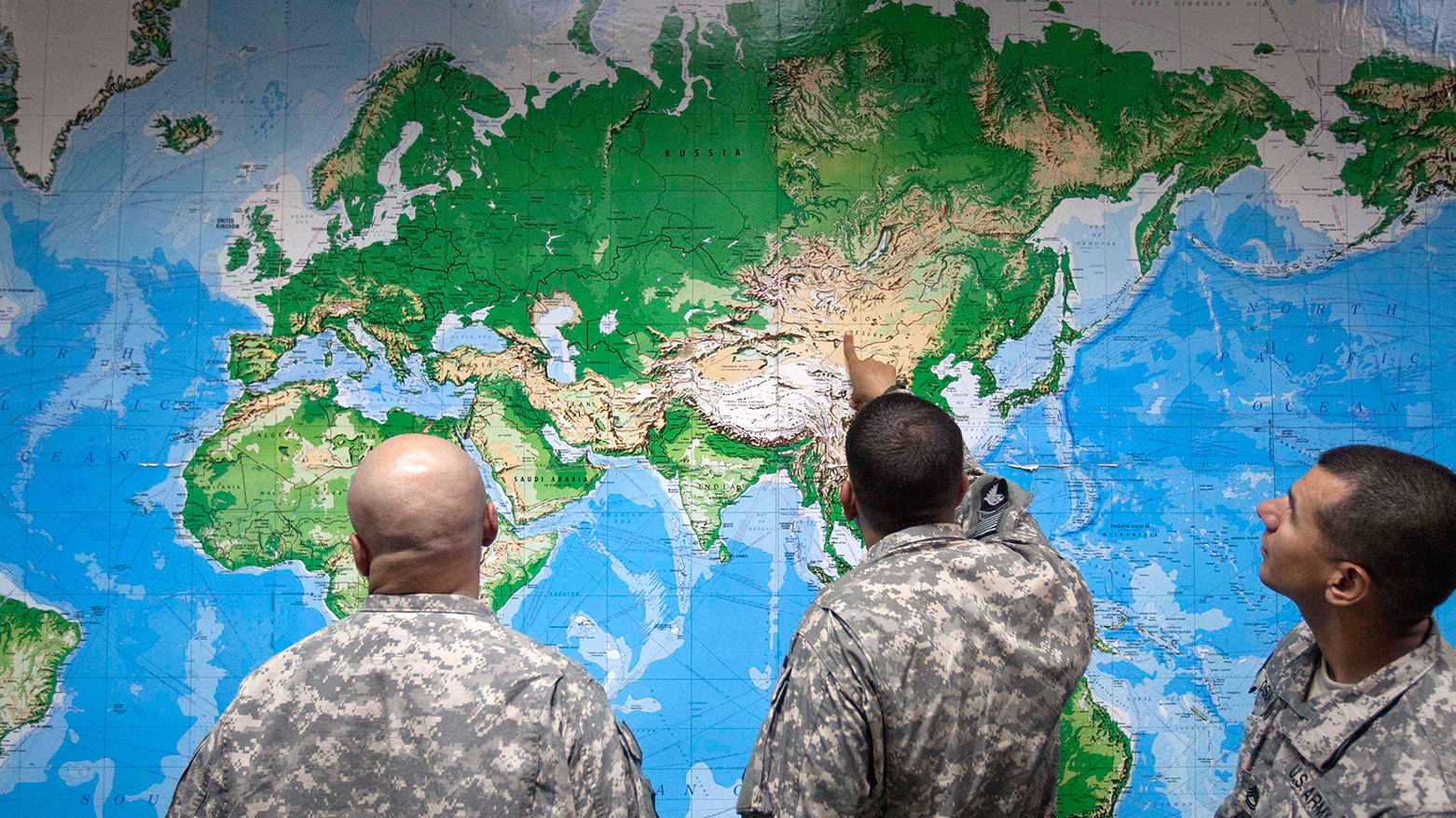
ERBIL (Kurdistan24) - The United Nations General Assembly has overwhelmingly backed a resolution encouraging governments, schools, international organizations and technology companies to use world maps that more accurately represent the relative size of continents, in a landmark vote driven by African governments seeking to challenge the longstanding dominance of the Mercator projection.
The measure passed Friday by 164 votes to one, with the United States casting the only vote against it. Estonia, Georgia, Lithuania, Moldova, Serbia and Ukraine abstained, according to the United Nations.
The resolution is nonbinding and does not ban the Mercator projection or require countries to adopt a single replacement.
Instead, it promotes equal-area projections, including the Equal Earth map, in contexts where accurately comparing the size of landmasses matters. It also encourages schools and institutions to teach the limitations inherent in representing the spherical Earth on a flat surface.
"Maps shape our understanding of the world," Togolese Foreign Minister Robert Dussey said before the vote. "They guide education, nourish the imagination, and influence collective perceptions."
Togo led negotiations on behalf of the African group, building on a broader campaign supported by the African Union.
Why Mercator Makes Africa Look Smaller
The debate centers on the Mercator projection, developed in 1569 by Flemish cartographer Gerardus Mercator.
It was designed for navigation because straight lines on the map can correspond to constant compass bearings, making it highly useful for sailors.
But that navigational advantage comes with a major distortion of area.
Countries and continents appear increasingly enlarged as they move farther from the Equator, while equatorial regions appear smaller in relative terms.
The most familiar example is Greenland.
On many Mercator maps, Greenland appears roughly comparable in size to Africa. In reality, Africa is about 14 times larger.
UN News said the same distortion also exaggerates the apparent size of northern Europe, North America and other high-latitude regions relative to Africa and other parts of the Global South.
The resolution says those visual distortions have contributed to what it calls the "symbolic minimization" of Africa.
BBC Africa correspondent Thomas Mukhwana and reporter Wycliffe Muia noted that the African Union's 54 member states had already endorsed the Equal Earth projection earlier this year as a representation that more accurately reflects the scale of continents.
The Equal Earth projection, developed in 2018, preserves relative area more accurately than Mercator while attempting to retain recognizable continental shapes.
It does not make Africa larger. Rather, it removes the enlargement Mercator gives to regions closer to the poles.
"A fair map does not change the geography of the world, it changes how we see the world," Dussey said.
US Objects, France Moves Toward Equal-Area Maps
The United States strongly opposed the initiative.
Its representative argued that the resolution improperly connected cartography to broader debates over historical injustice, reparations and "cognitive justice."
According to UN News, Washington described the initiative as part of a wider ideological agenda and said the General Assembly should focus instead on issues involving international peace, prosperity and relations among states.
France took the opposite position.
Ahead of the vote, French Foreign Minister Jean-Noël Barrot announced that his ministry planned to stop using Mercator for its world maps, aligning France with the African-led campaign.
BBC reporters Mukhwana and Muia quoted Barrot as saying that correcting a distorted representation was "an act of truth."
Ukraine, meanwhile, supported efforts to address distortions affecting Africa and the Global South but expressed concern about how some Equal Earth maps depict territories under Russian occupation.
The European Union sought to separate the cartographic issue from sovereignty disputes.
Speaking for the bloc, Ireland stressed that the resolution concerns only the relative size of landmasses and does not alter internationally recognized borders, territorial status or sovereignty claims.
That distinction matters because no flat world map can be perfectly accurate.
Every projection sacrifices something,whether area, shape, distance or direction, depending on the purpose for which it was designed.
The UN resolution itself acknowledges that limitation.
Its significance lies less in declaring one map universally correct than in challenging the assumption that a centuries-old navigational projection should remain the default representation of the world in classrooms, media and digital platforms.
The vote gives broad international support to an argument African governments and campaigners have increasingly advanced: maps do more than show geography.
They influence how people imagine size, power and importance.
And in that sense, Friday's vote was not about changing Africa's place on the planet, but about changing how accurately that place is represented.