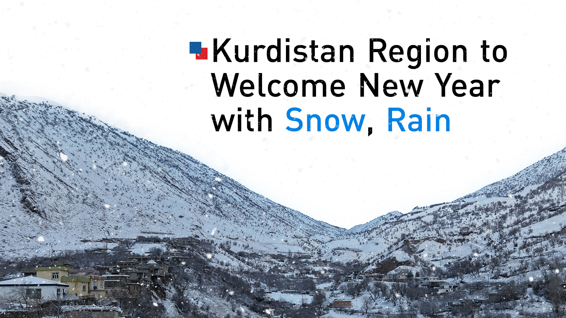
Meteorology Directorate Forecasts Snow and Rain to Sweep Kurdistan Region Through New Year’s Day
KRG weather authority forecasts a cold, wet transition into 2026 for the Kurdistan Region, with snow affecting Duhok, Zakho, and mountain areas, while rain and sleet impact the wider region. Temperatures will range from 4°C in Zakho to 13°C in Garmian.
ERBIL (Kurdistan24) — The General Directorate of Meteorology and Seismology of the Kurdistan Region has announced a significant shift in meteorological conditions, issuing a forecast that predicts a comprehensive wave of snowfall and rainfall will cover the Kurdistan Region beginning on Wednesday, and continuing through tomorrow, Thursday, Jan. 1, 2026.
The directorate’s report, released today, outlines a 48-hour period of unsettled weather characterized by dropping temperatures, overcast skies, and varying forms of precipitation affecting multiple governorates and administrations across the region.
According to the official forecast released by the General Directorate on Wednesday, the weather patterns for the remainder of 2025 will be marked by increasingly cold conditions. The report indicates that the atmosphere today will initially be cold and partly cloudy.
However, as the day progresses, cloud cover is expected to increase, transitioning the skies to a fully overcast state. This shift in cloud density signals the approach of a precipitation wave that is expected to bring snowfall to specific high-altitude and border areas by the afternoon.
The General Directorate of Meteorology and Seismology has provided a detailed geographical breakdown of the areas expected to be impacted by the incoming wave of snowfall on Wednesday afternoon.
The forecast explicitly identifies the borders of the Duhok Governorate as a primary zone for this meteorological activity. Additionally, the wave is projected to approach the Zakho Administration, the district of Mergasor, and the district of Amedi.
The scope of the snowfall also extends to the borders of the Soran Administration and parts of the Raparin Administration. In the Erbil Governorate, the report specifically highlights Mount Safin as an area that will experience the approaching snow wave.
In addition to the anticipated snowfall in these specific locations, the General Directorate indicated that the broader influence of this weather system creates the possibility of drizzle mixed with snow in various other areas across the region.
This mix of precipitation is accompanied by a notable thermal shift; the directorate noted that temperatures are set to drop, reinforcing the cold conditions associated with the system. The report also provided specific data regarding wind conditions for Wednesday, stating that the wind direction will be moderately oriented towards the Southeast, with wind speeds ranging between 10 to 25 kilometers per hour.
Looking ahead to the start of the new year, the General Directorate of Meteorology and Seismology has extended its detailed forecast to cover tomorrow, Thursday, Jan. 1, 2026. The meteorological data indicates that the weather patterns established on Wednesday will persist and evolve.
The sky is expected to remain overcast throughout the day, maintaining the gray, wintery backdrop for the holiday. Crucially, the directorate confirmed that the effect of the snowfall wave will continue to impact the same specific regions identified in the Wednesday forecast.
The Thursday forecast reiterates that the snowfall will remain active within the borders of the Duhok Governorate and the Zakho Administration. Similarly, the districts of Mergasor and Amedi are expected to see the continued effects of the wave.
The borders of the Soran Administration and parts of the Raparin Administration remain within the projection for continued snowfall, as does Mount Safin within the Erbil Governorate. The persistence of the system suggests a sustained period of winter weather for these specific northern and mountainous territories.
Beyond the snowfall, the General Directorate’s outlook for Thursday predicts a wider distribution of liquid precipitation. The report states that drizzle and moderate rain are expected to occur at certain times and places in "most areas" of the Kurdistan Region. This suggests that while the heaviest snow is confined to specific borders and administrations, the broader population can expect wet conditions.
The forecast also provided a specific detail regarding the evolution of precipitation types into the night; the directorate noted that during the nighttime hours on Thursday, the rain will sometimes transition into sleet, adding a layer of complexity to the weather conditions as temperatures presumably dip further.
Atmospheric conditions regarding wind and visibility were also clearly defined for Thursday.
The General Directorate stated that the wind speed and direction will remain consistent with the previous day’s patterns, staying moderate and blowing towards the Southeast. However, the report highlighted significant variations in visibility depending on the immediate weather conditions.
While general visibility is predicted to range between 7 to 9 kilometers, the directorate warned that in places experiencing active snow and rain, visibility will decrease significantly to a range of 3 to 5 kilometers. This reduction in visibility serves as a key data point for residents traveling through the affected areas during the precipitation.
The General Directorate of Meteorology and Seismology concluded its 48-hour outlook with a specific breakdown of the highest predicted temperatures for major cities and areas within the Kurdistan Region. This thermal data provides a clear picture of the temperature gradient across the region during this wave of cold weather.
The warmest temperatures in the forecast are predicted for the Garmian Administration, where the high is expected to reach 13 degrees Celsius. Kirkuk follows, with a predicted high of 10 degrees Celsius, making it the only other major location listed to reach double digits. The capital, Erbil, is forecast to see a high of 8 degrees Celsius.
In contrast, other major urban centers will experience lower temperatures. The forecast lists the high for Sulaimani at 6 degrees Celsius, matching the predicted high for Halabja, which is also 6 degrees Celsius. The coldest maximum temperatures among the listed locations are expected in the northern areas most heavily affected by the snow wave. Both the Duhok Governorate and the Zakho Administration are forecast to reach a high of only 4 degrees Celsius.
This comprehensive weather data, released by the General Directorate of Meteorology and Seismology of the Kurdistan Region, outlines a distinct start to the year 2026. From the specific wind speeds of 10 to 25 kilometers per hour to the precise identification of affected districts like Mergasor and Amedi, the report paints a picture of a region-wide weather event.
Residents in Erbil, Sulaimani, Duhok, and the surrounding administrations are facing a period of overcast skies, mixed precipitation ranging from drizzle to sleet, and temperatures that will require winter preparations, particularly in the northern borders where the snowfall is expected to be most concentrated.