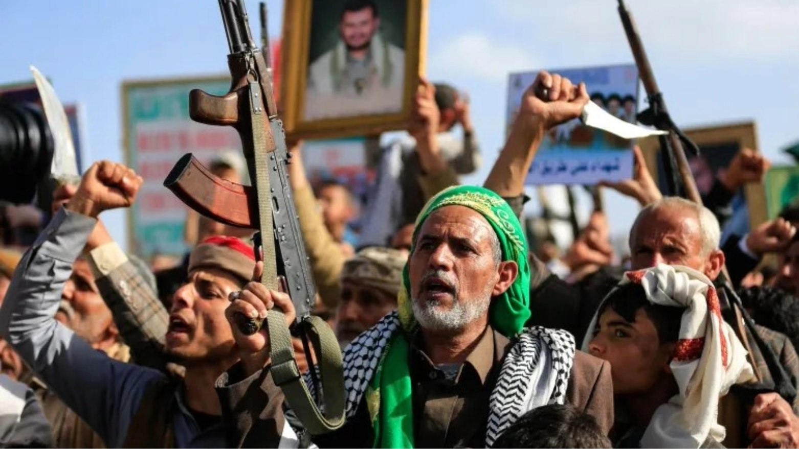
Supporters of the Iran-backed Houthi movement brandish their weapons as they rally in solidarity with Iran and Lebanon in the Yemeni capital Sanaa on April 17, 2026. (AFP)
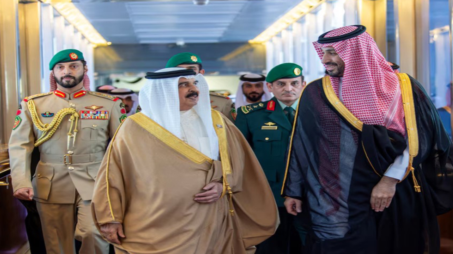
Saudi Crown Prince Mohammed bin Salman receives Bahrain's King Sheikh Hamad bin Isa al-Khalifa ahead of GCC summit, Jeddah, Saudi Arabia, April 28, 2026. (KSA)
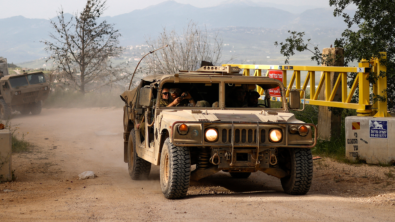
Israeli army soldiers patrol in their humvees along the border with southern Lebanon, in the Upper Galilee of northern Israel, on April 25, 2026. (AFP)