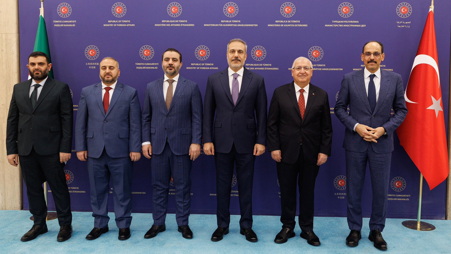
from the left, Intelligence Chief Hussein al-Salamah, Defense Minister Marhaf Abu Qasra, FM Asaad al-Shaibani, Türkiye's FM Hakan Fidan, Türkiye's Defense Minister Yasar Güler and Turkish intelligence chief Ibrahim Kalin. (Photo: Fidan's X)
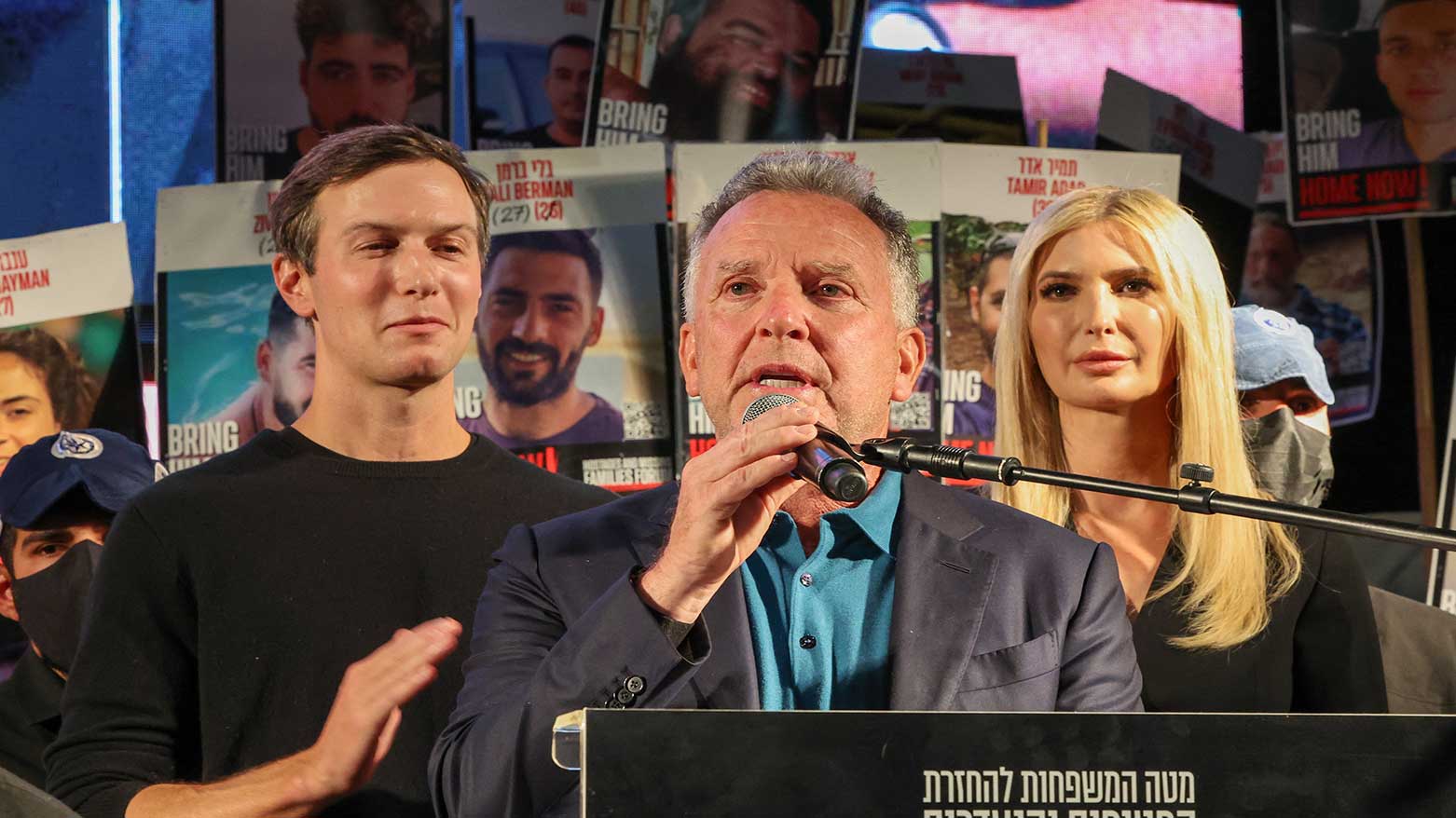
US special envoy Steve Witkoff (C) speaks as senior adviser Jared Kushner (L) and his wife Ivanka Trump (R) look on during a gathering at Hostages Square in Tel Aviv on October 11, 2025. (Photo
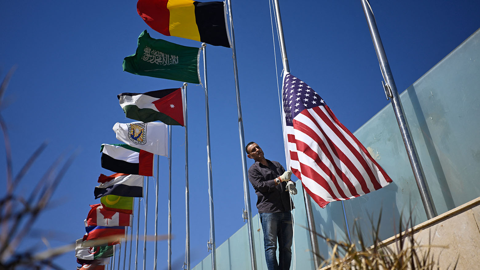
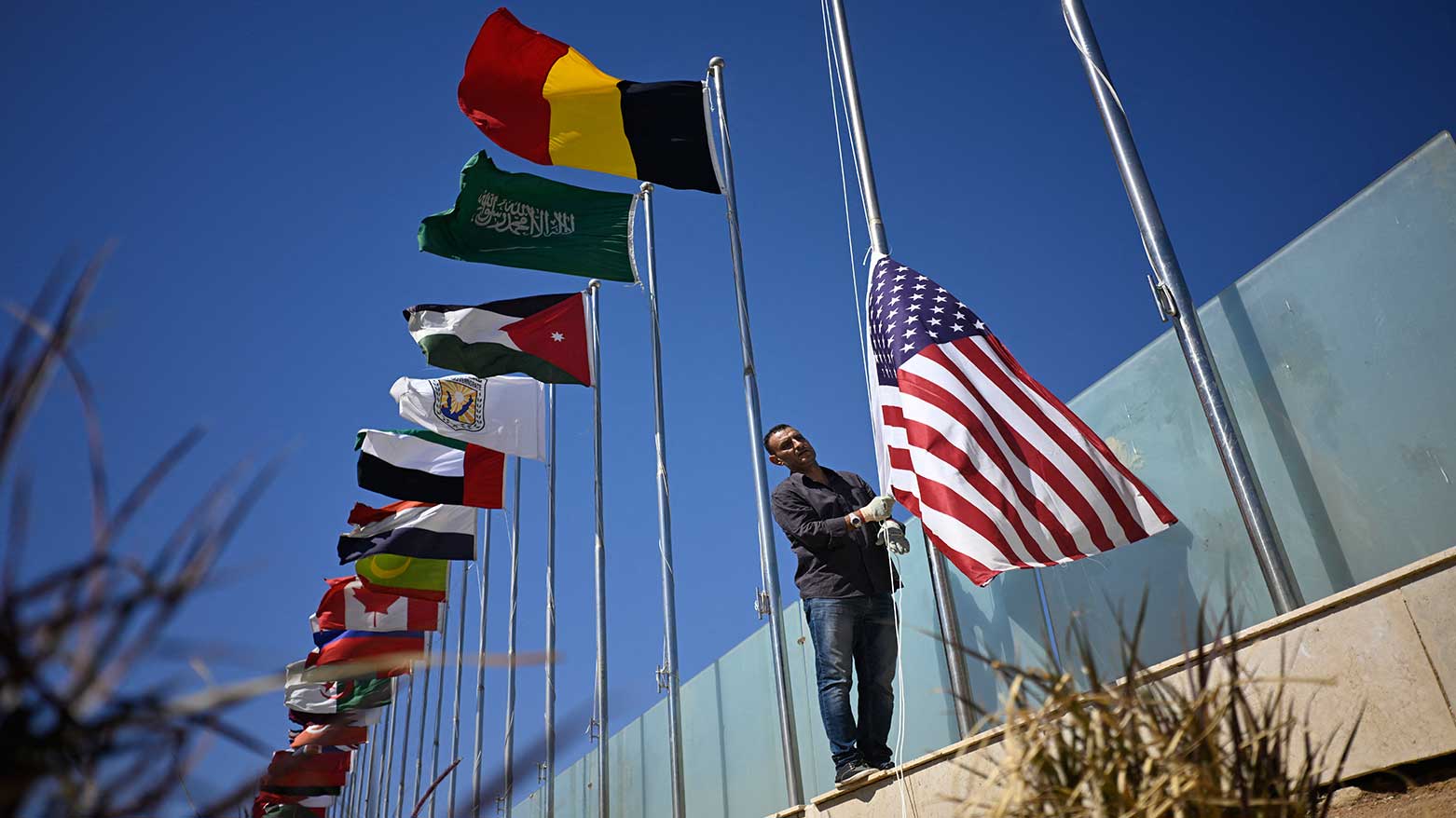
A municipal employee raises the US flag among those of other nations in Sharm el-Sheikh, as the Egyptian Red Sea resort town gets ready to receive international leaders, following a Gaza ceasefire agreement, on October 11, 2025. (Photo: AFP)
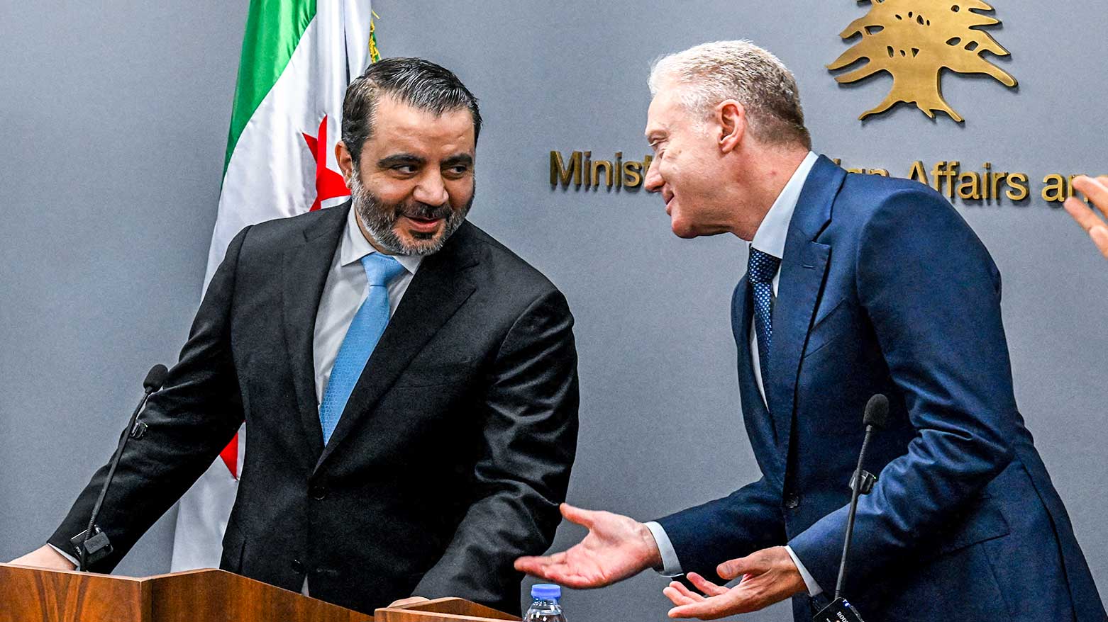
Lebanon's Foreign Minister Youssef Rajji, (R) and his Syrian counterpart Asad al-Shaibani attend a joint press conference following their meeting in Beirut, October 10, 2025. (Photo: AFP)